Whatcom County Sheriff’s Office
311 Grand Avenue
Bellingham, WA 98225
Phone: 360.676.6650
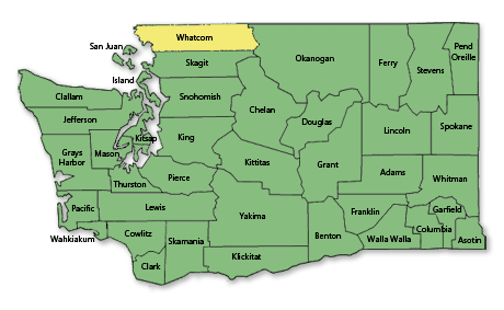
Whatcom County derives its name ultimately from a Nooksack word meaning “noisy water. As of 2017, the estimated population was 221,404. The county seat is at Bellingham, which is also the county’s largest city. Whatcom County’s northern border is the international boundary with the Canadian province of British Columbia. The five crossing points are at Blaine (one at the Peace Arch, located on the Interstate 5 crossing, and the other a commercial and passenger crossing on the Pacific Highway at State Route 543), as well as at Lynden (SR 539), Sumas (SR 9), and Point Roberts. Point Roberts is a very small part of the county (about 5 sq. miles) that is an extension of the Tsawwassen Peninsula, which is bisected by the international boundary along the 49th Parallel.
Whatcom County was created on March 9, 1854.
According to the U.S. Census Bureau, the county has a total area of 2,504 square miles, of which, 2,120 square miles of it is land and 384 square miles of it (15.34%) is water. The population density is 78 per square mile.
Principal Communities:
- Bellingham
- Lynden
- Ferndale
- Blaine
- Everson
- Point Roberts
- Sumas
- Nooksack

